Finnish forest resource information has the world’s best price-quality ratio. The National Forest Inventory produces reliable statistical data based on field-measured samples to support forest policy. The Finnish Forest Centre, in turn, offers forest owners graphical forest resource information based on remote sensing free of charge in the metsään.fi service.
Although the accuracy of the graph data produced by the Forest Centre based on airborne laser scanning and aerial photo interpretation has improved considerably in recent years, there is still some need for development. At the moment, forest owners do not receive sufficient information about the potential natural values of their forests.
For example, the number of decayed trees and aspens important for biodiversity cannot be estimated reliably without a field inspection. On the other hand, the materials currently available enable the interpretation of the age structure of protective belts, retention trees and forests.
Verification of indicators describing forest biodiversity by remote sensing is important for both forest planning and forest management. It would also motivate forest professionals and forest owners to better consider nature values in their work.
Fortunately, the sensor technology used in remote sensing is developing at a tremendous pace, and the measurement of biodiversity using remote sensing is being actively studied both in Finland and abroad. In 2026, the third round of forest inventories covering the whole of Finland will begin. For the quality of forest resource and biodiversity information, it is important to improve the quality of the laser scanning and aerial imaging data collected during the third round. More accurate laser scanning materials might enable an inventory of large horizontal and vertical decaying trees, for example.
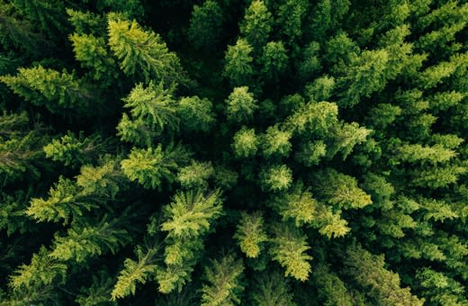
In practice, remote sensing of forests is never completely free of errors. Forest resource information based on remote sensing may be inaccurate in some locations even in terms of traditional tree stand characteristics. Therefore, remote sensing cannot completely replace terrain observations. However, remote sensing can help to allocate terrain measurements to the most interesting locations.
The development of forest assessment based on laser scanning and aerial photographs aims at more accurate forest information that enables more accurate planning of forest management measures and, thus, generates significant economic benefits. In addition, it provides new information on forest biodiversity and a more accurate picture of forest carbon sinks. However, this requires investments in the development of the quality of data and methods of interpretation.
Lauri Korhonen, Researcher, University of Eastern Finland